ylwjacket
Well-Known Member
- Thread starter
- #1
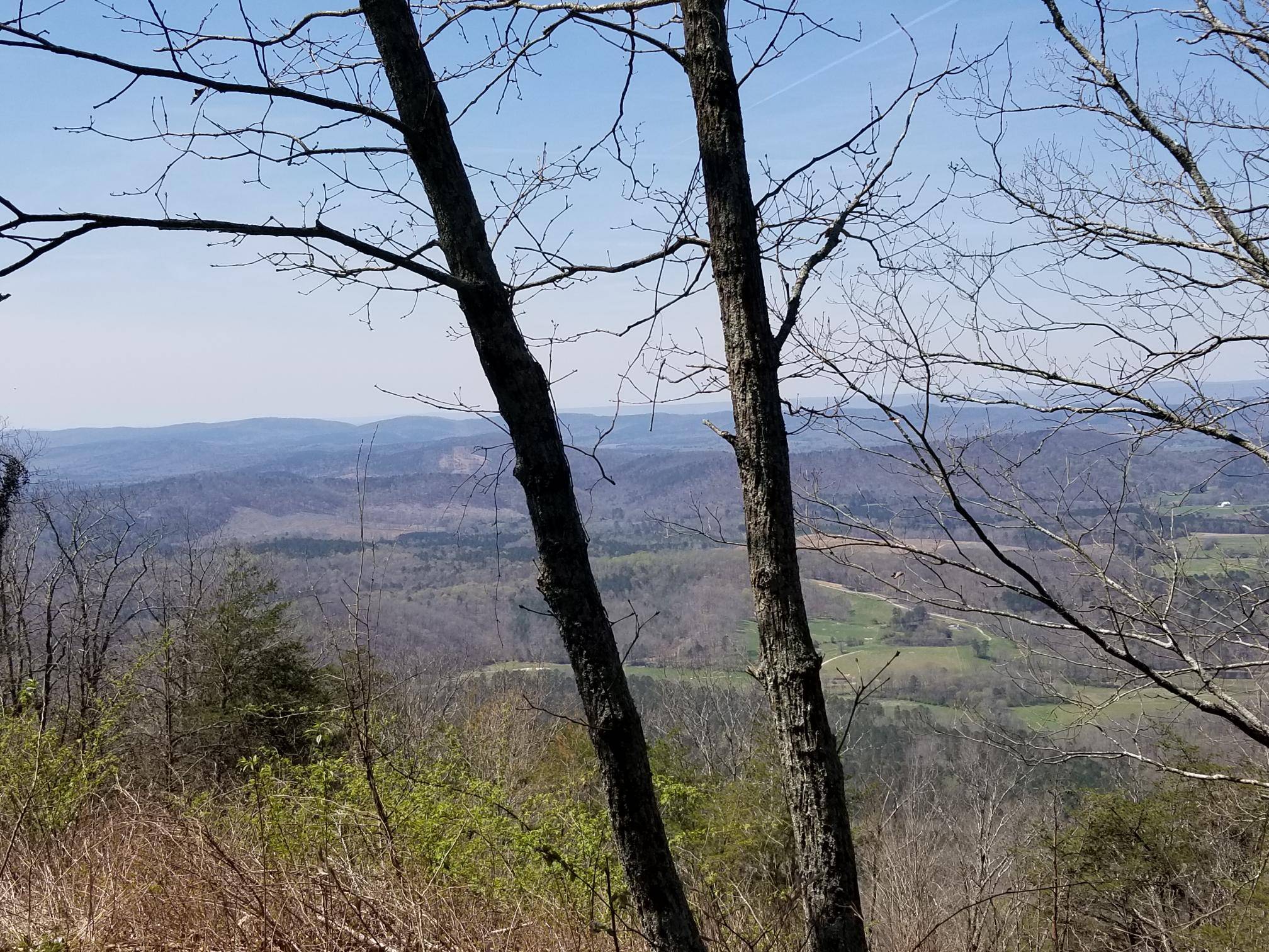
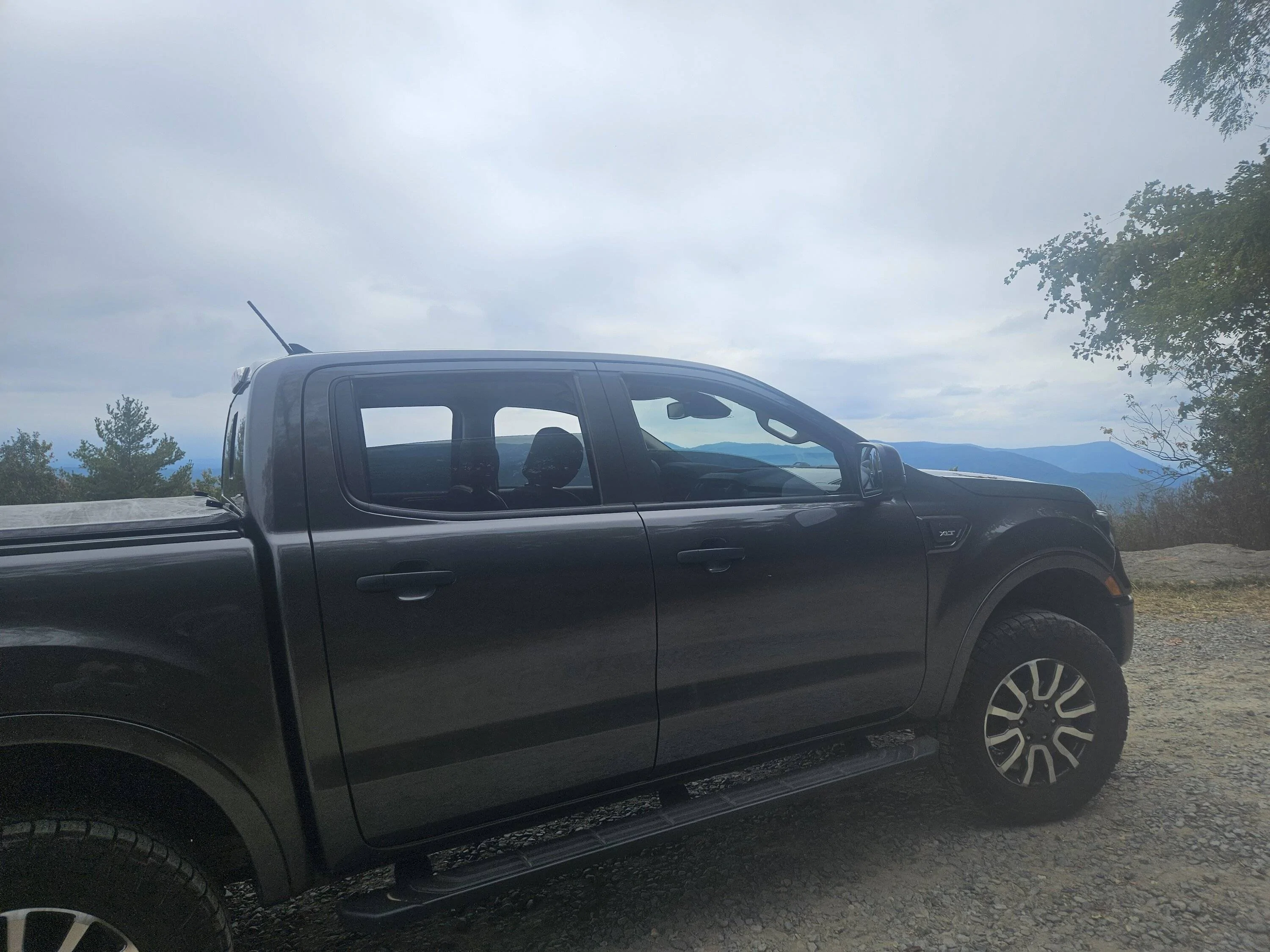
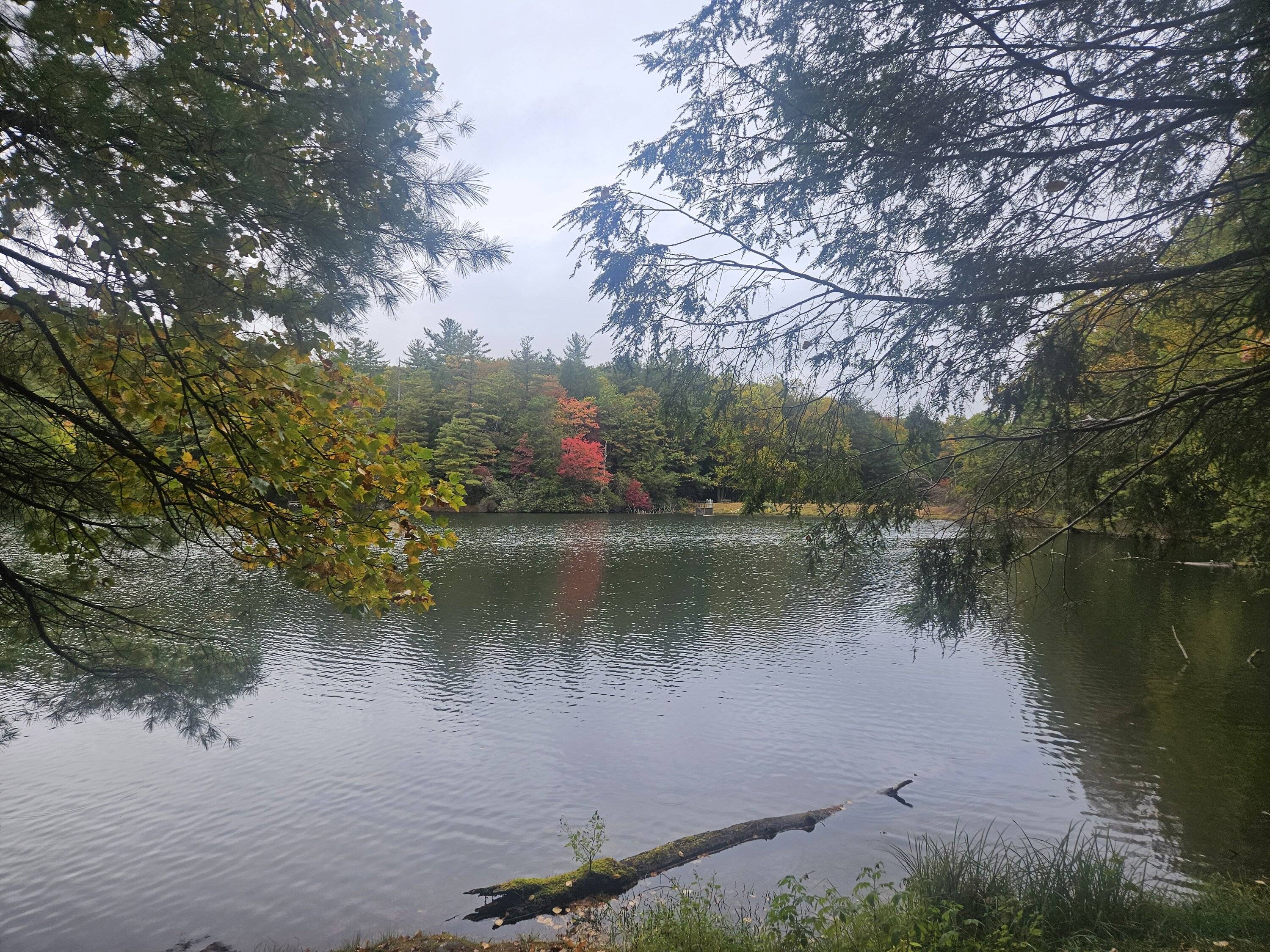
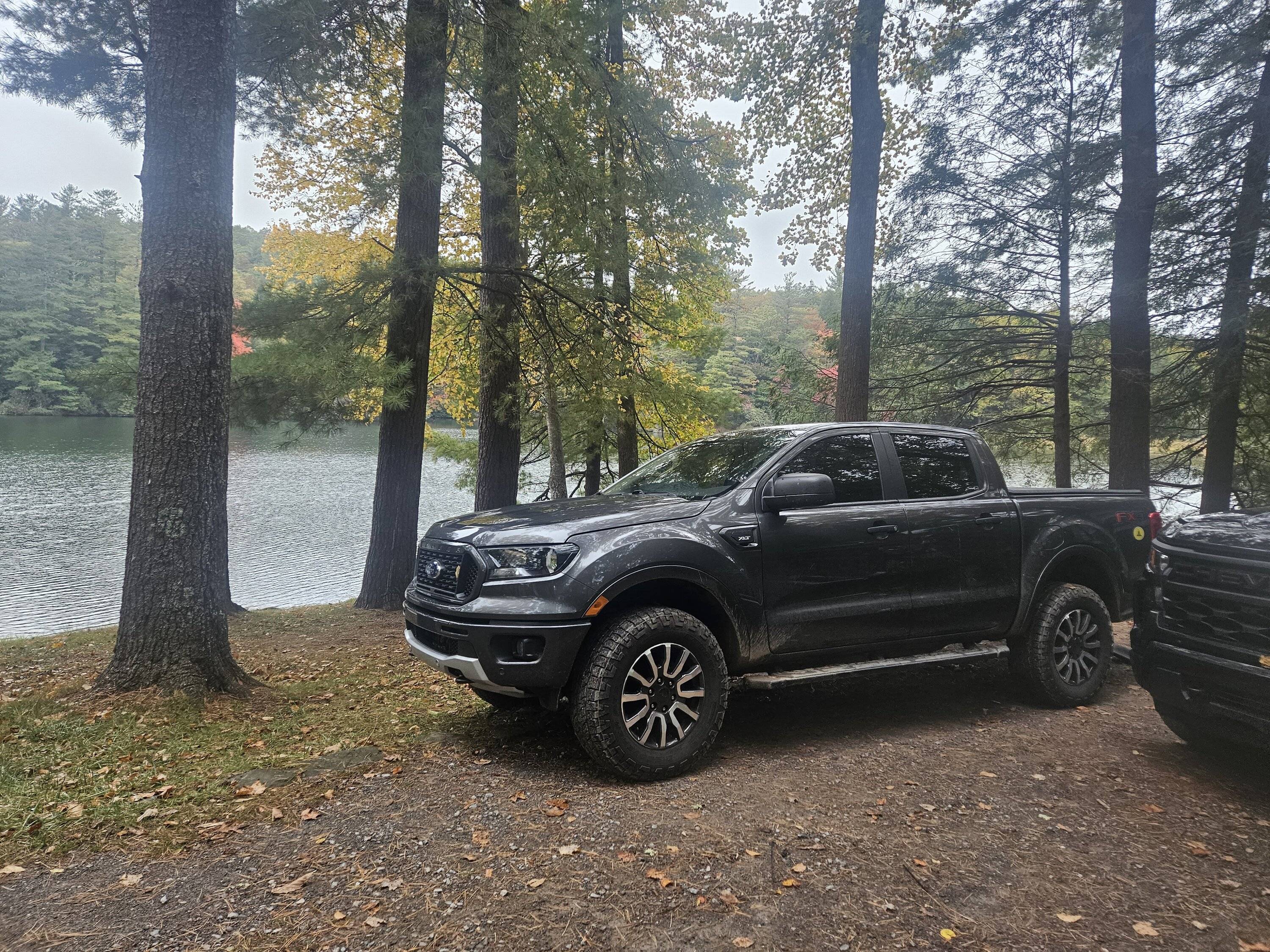
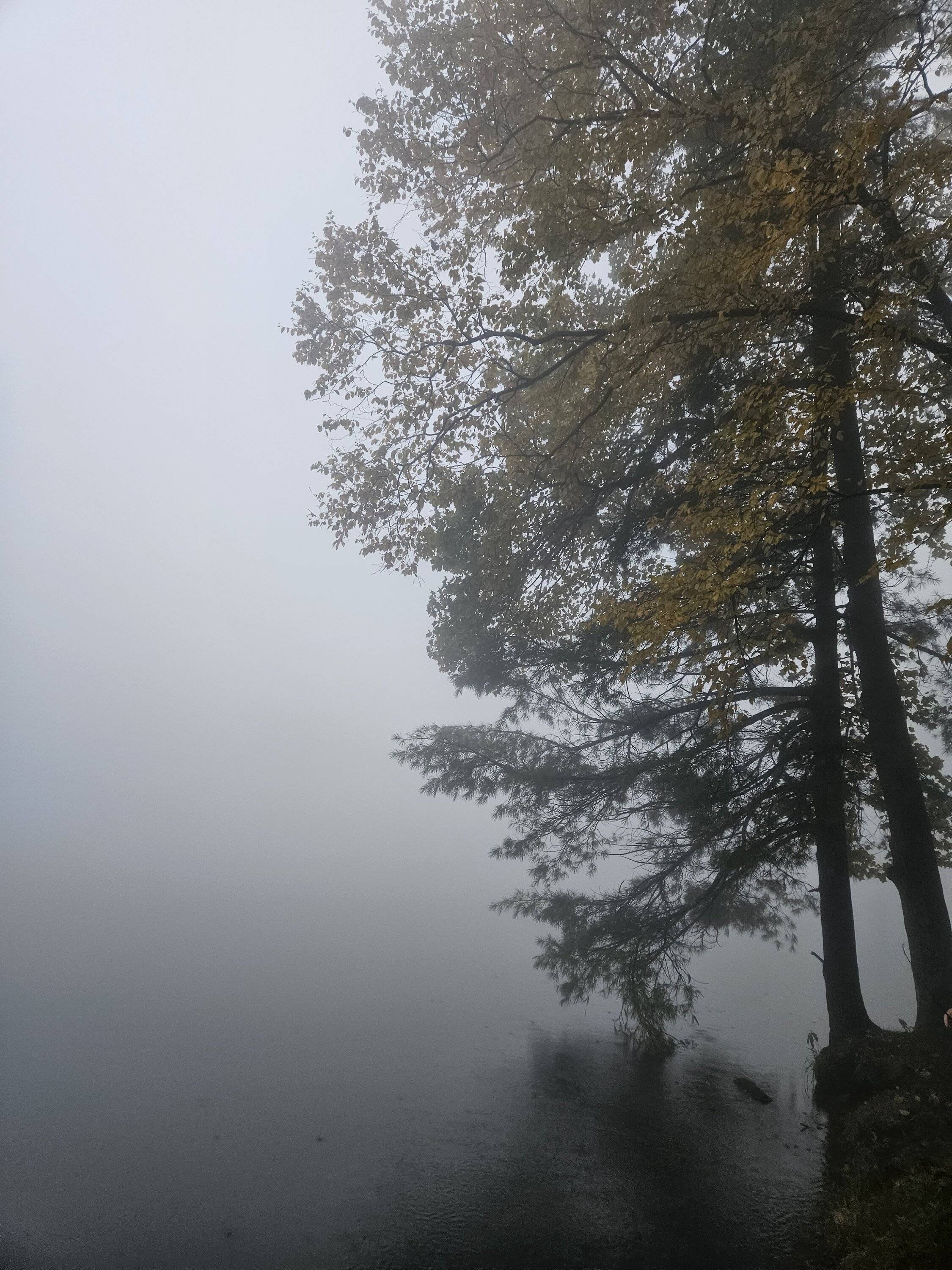
Had a chance to get out to the wilderness the past few days and do some truck stuff. It was muddy in spots since it rained for about 48 straight hours.
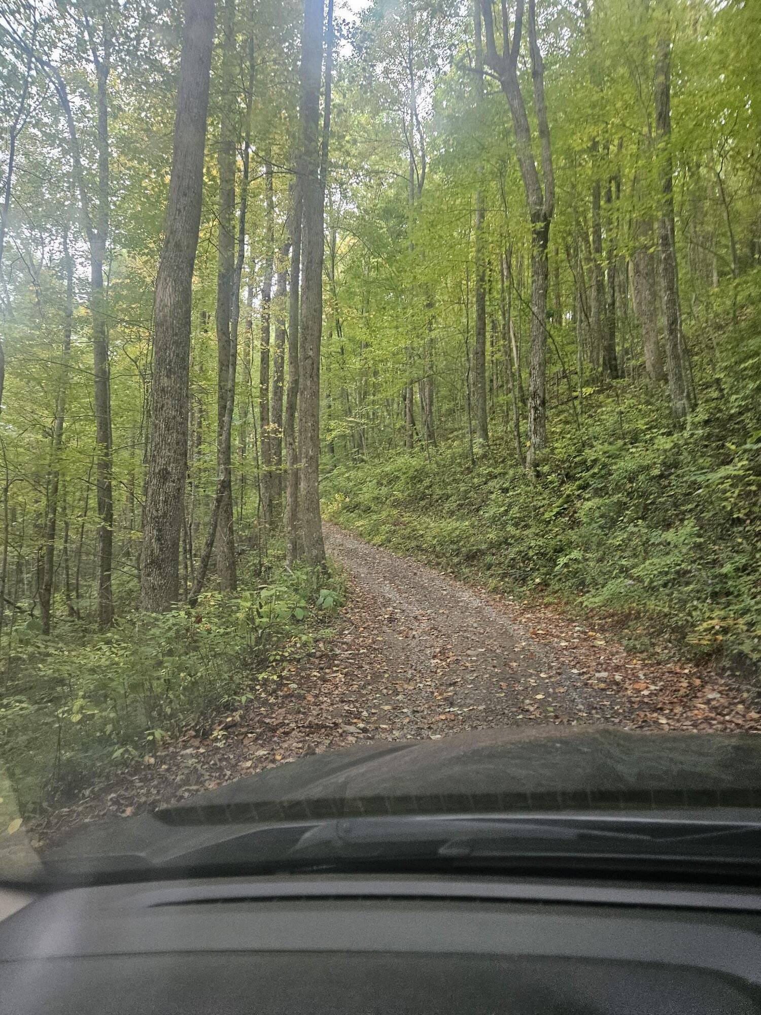
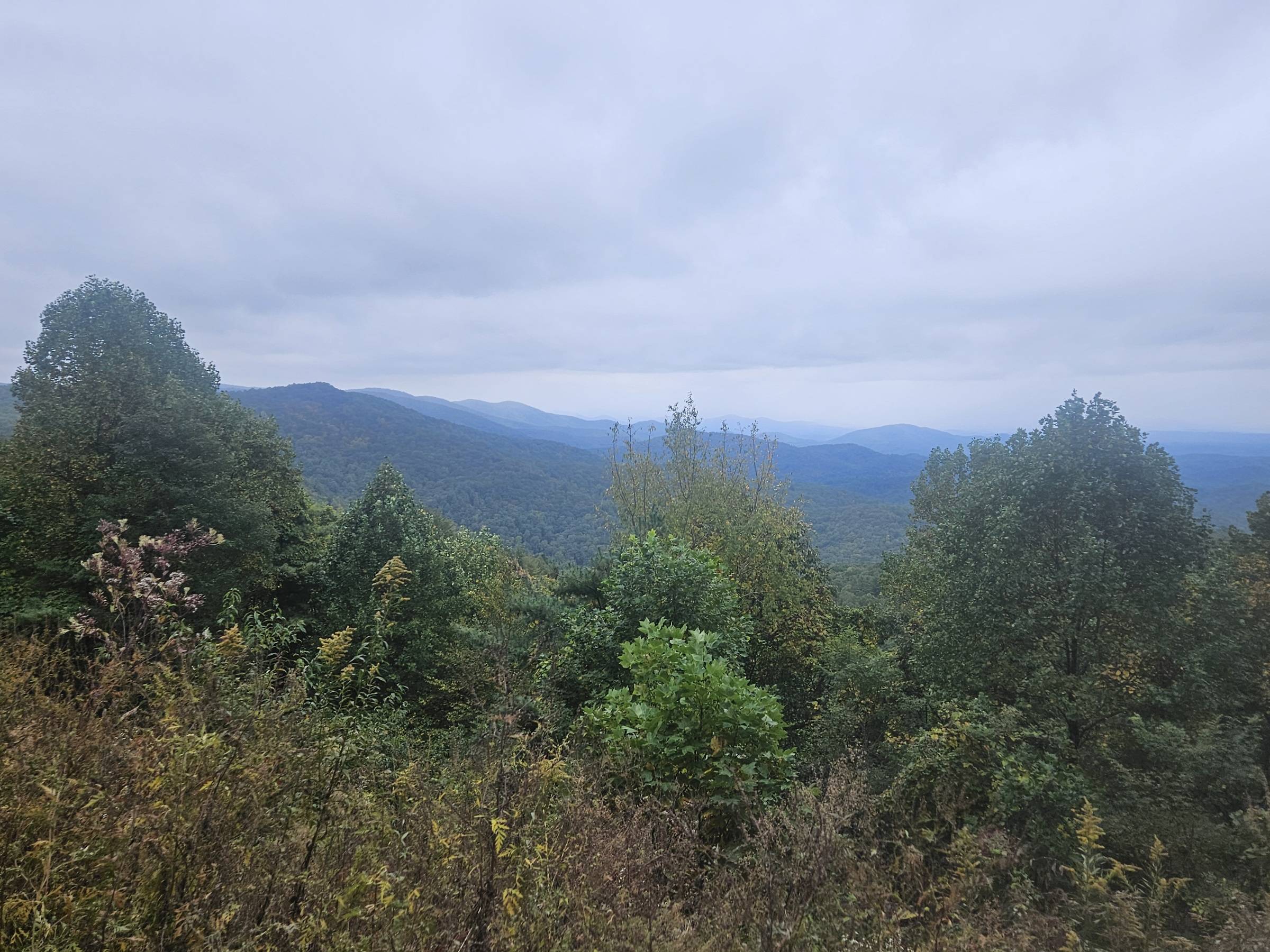
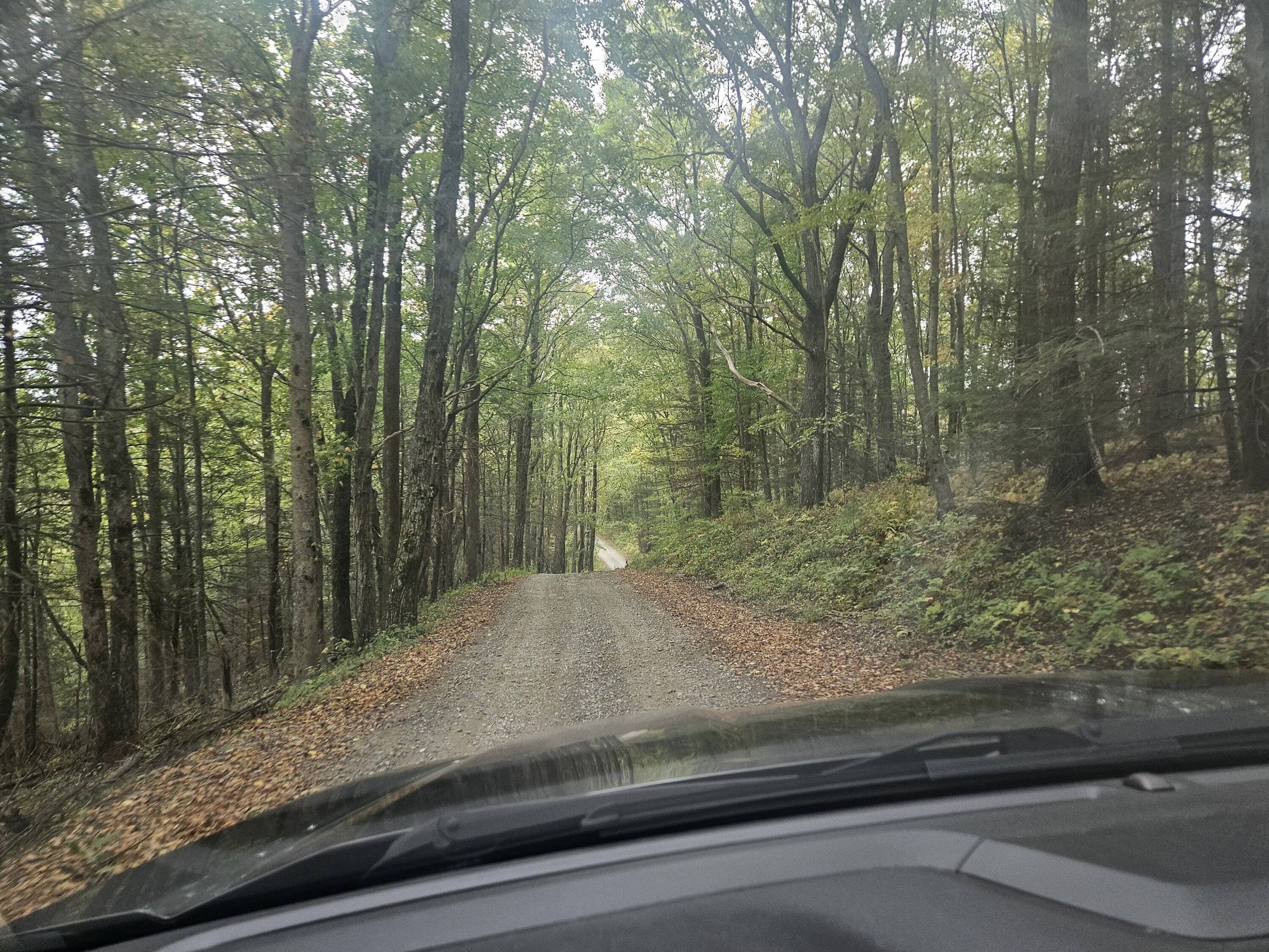
Took one unmaintained road to the top of a mountain at about 3800 ft. Pics don't do it justice. It was barely one vehicle wide, and kinda straight up in a couple places. Overnight, fog rolled in above about 2000 ft, and our campsite was at 3200.
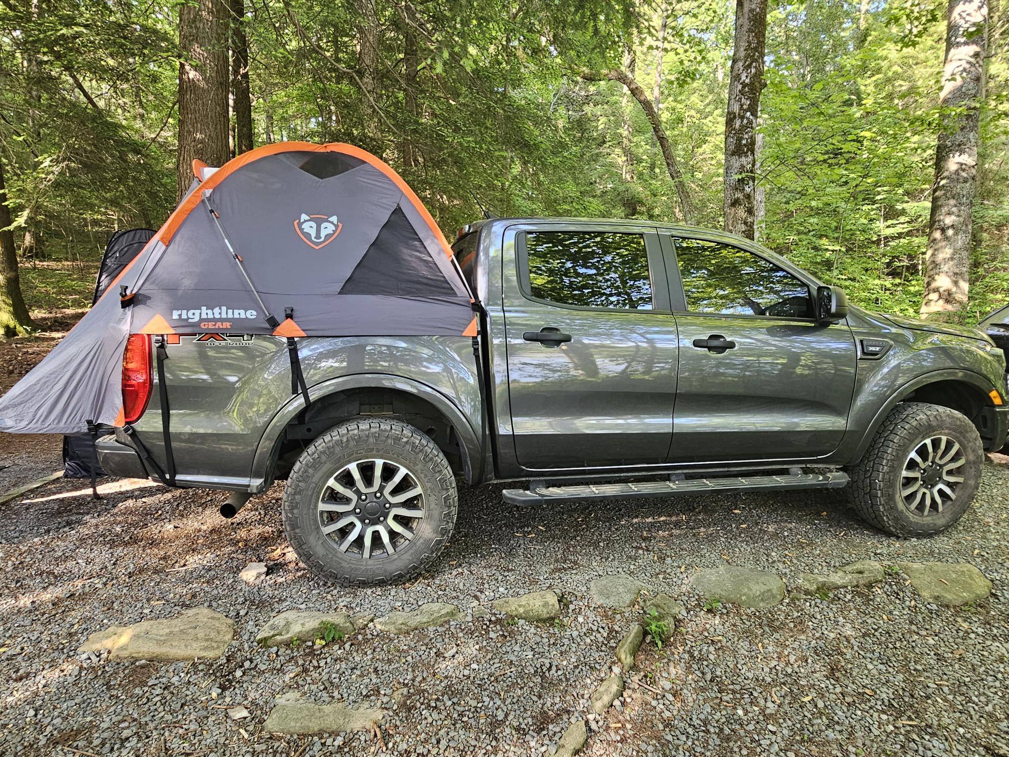
Driving was fun, camping not as much.
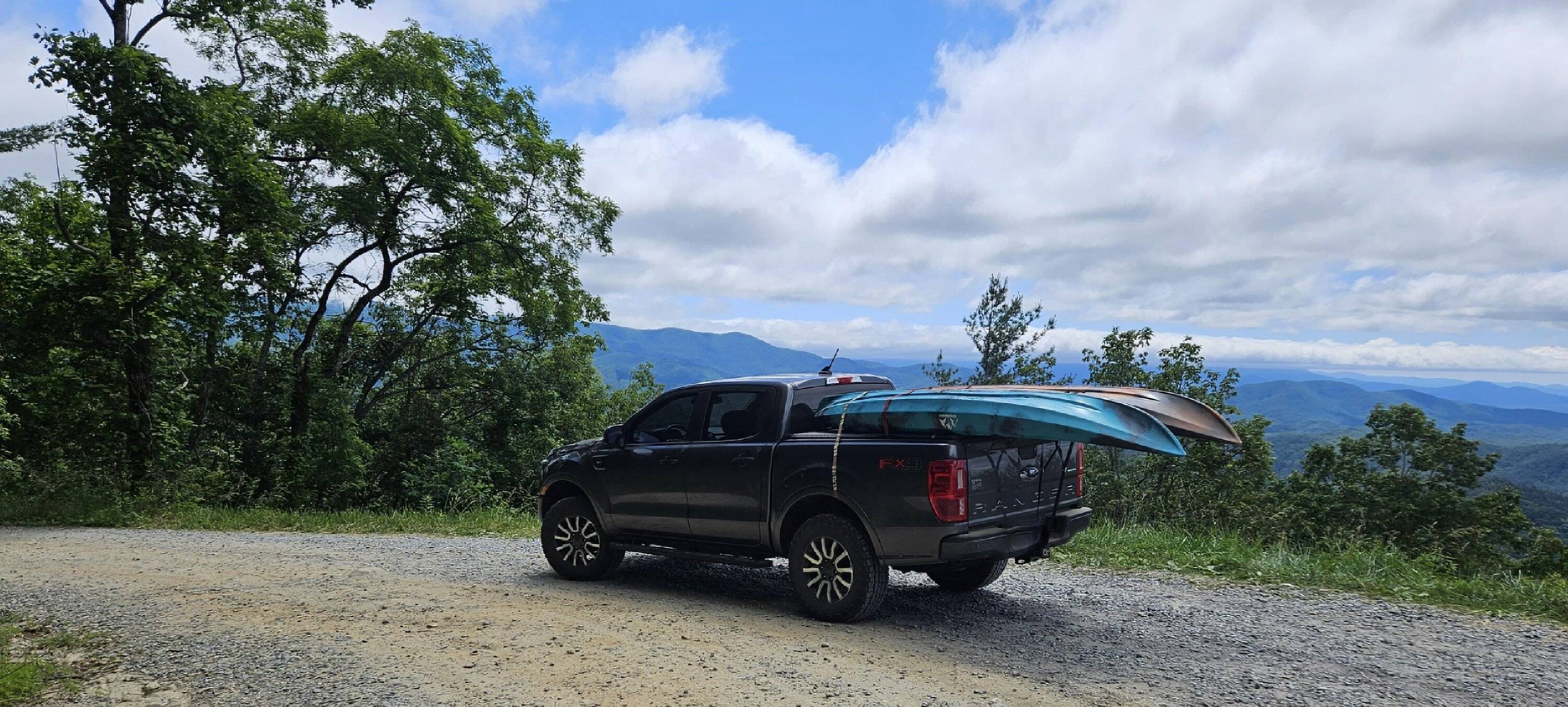
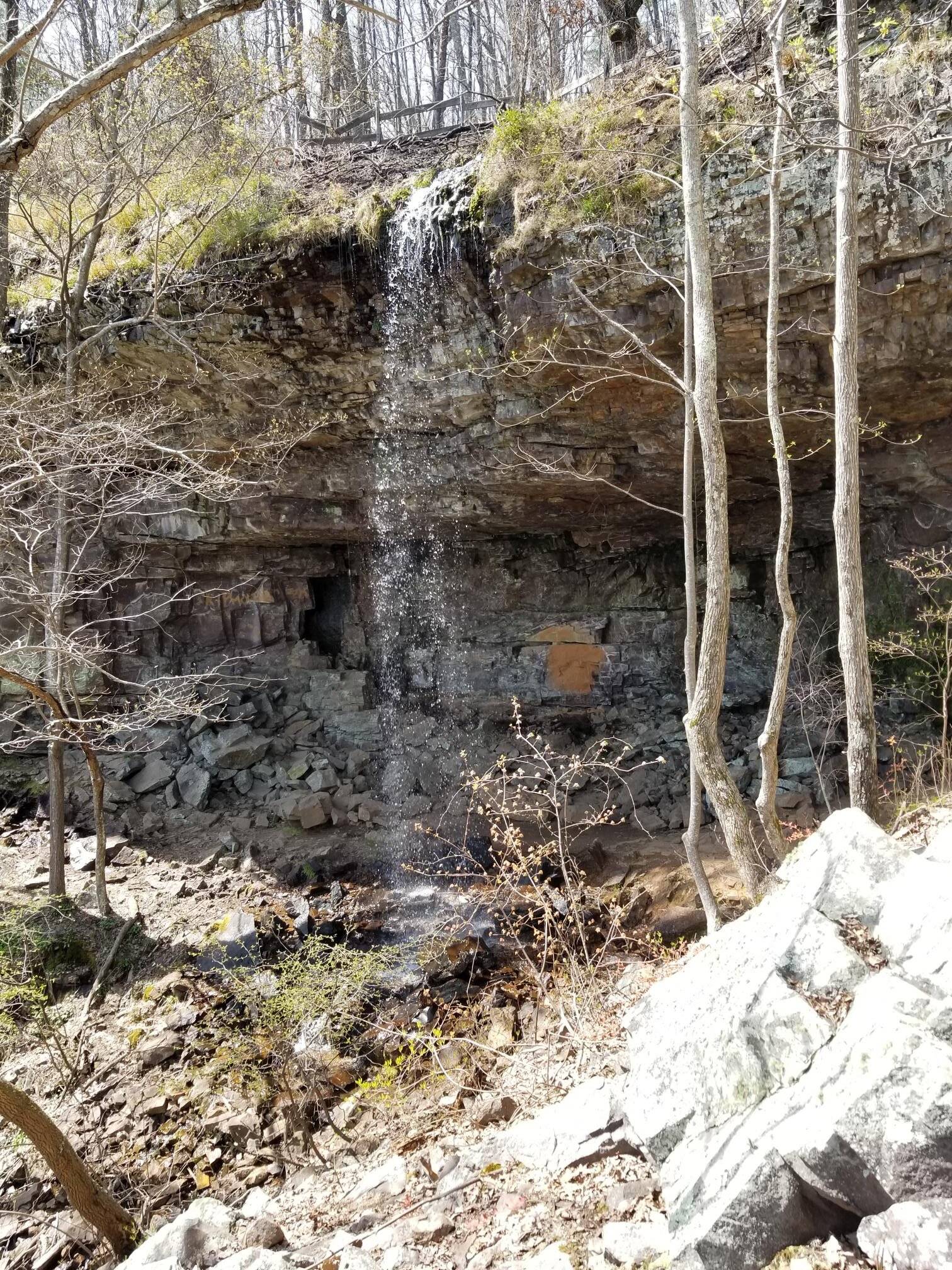
Anyways, a few pics.


Took one unmaintained road to the top of a mountain at about 3800 ft. Pics don't do it justice. It was barely one vehicle wide, and kinda straight up in a couple places. Overnight, fog rolled in above about 2000 ft, and our campsite was at 3200.
Driving was fun, camping not as much.
Anyways, a few pics.
Sponsored